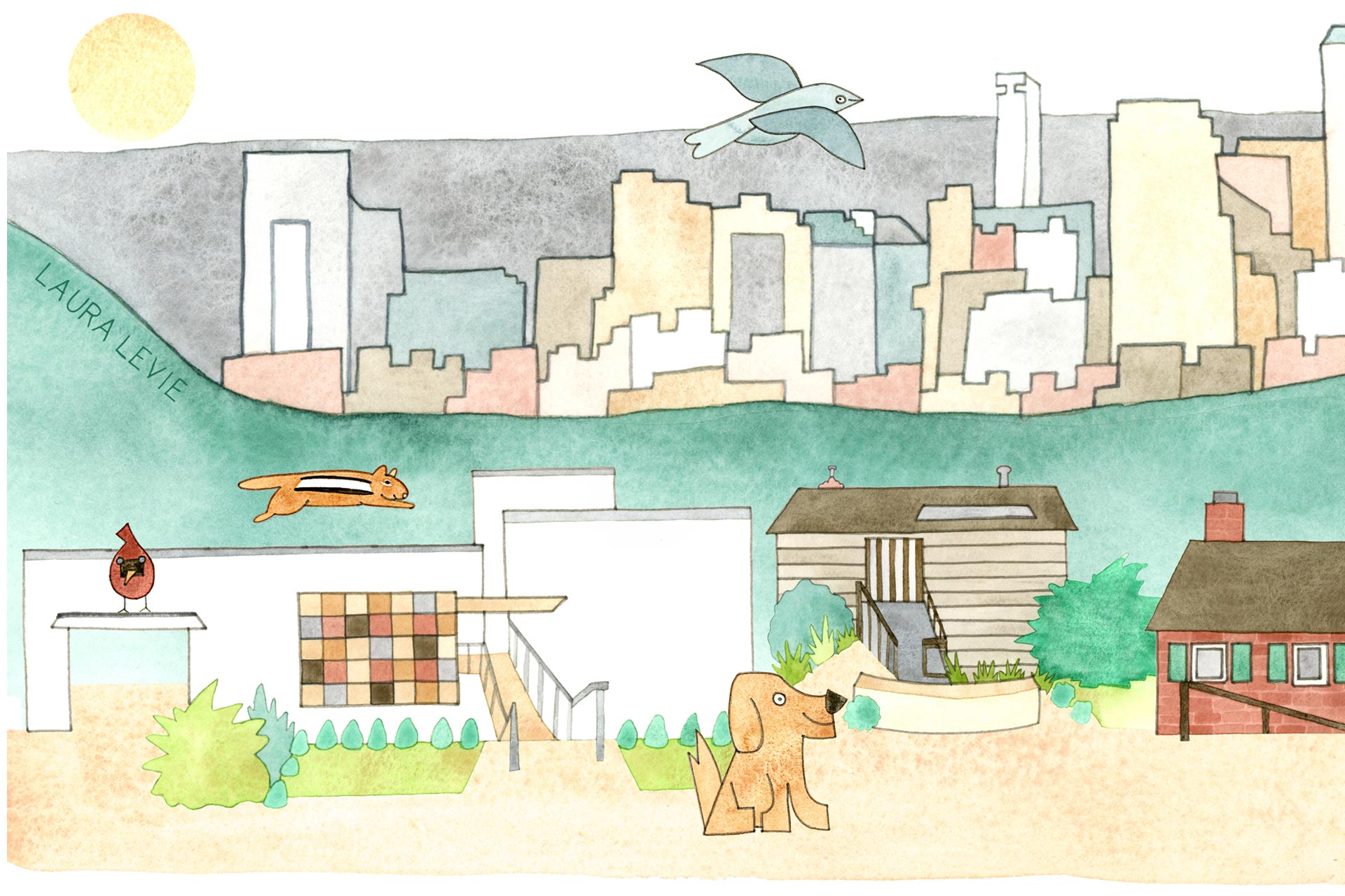
Altamont Road
Watercolor mixed-media illustration
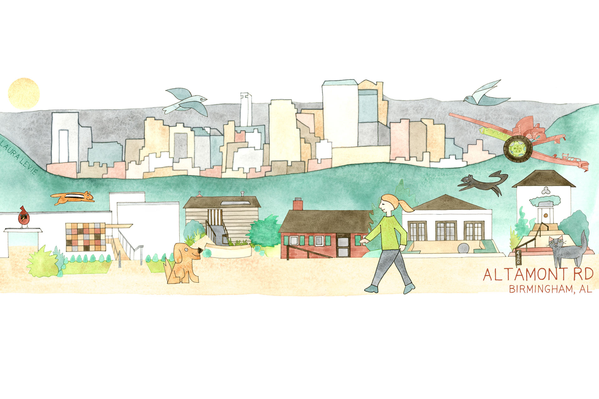
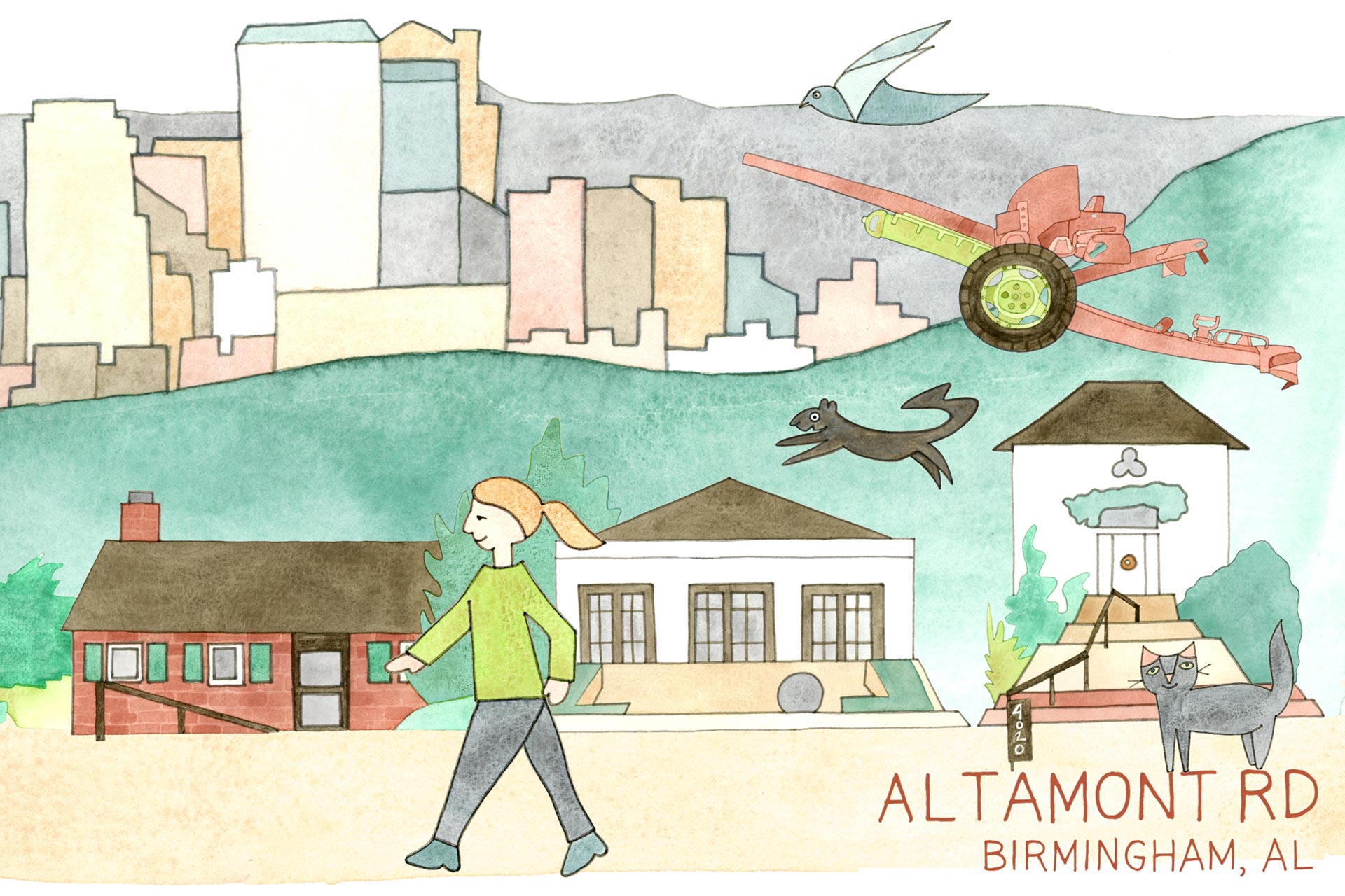
Altamont Road
I submitted this map for the "They Draw and Travel" (TDAT) Where We Walk Map Challenge, and it was chosen to be published
in the TDAT book: Where We Walk!
Click here to learn more.
My favorite walking route is along Altamont Road, which sits atop the crest of Red Mountain and provides some of the best views in Birmingham.
The majority of the road runs through Altamont Park, an undeveloped green space that, oddly, houses a WW1 cannon (topic for another time).
Just past the cannon the sidewalk begins, passing by diverse, interesting houses - some hanging off the side of the mountain and others perched
halfway down. Each one exhibits a different style, vibe and era, and I’ve included some of my favorites in this illustration. Throughout the mile-long
walk, I enjoy gazing at the beautiful cityscape vistas of downtown Birmingham.
Click here to visit the TDAT site.